


That distinction matters at the first design review. Two routes can have similar lengths and lead to the same destination while presenting very different demands. One has a visible lift and an identifiable arrival point. The other requires an unexpected turn, a change of level and a search for confirmation behind a queue.
For Wayfinding & Navigation, the purpose of the analysis is to expose those differences and give the team decisions it can act on. Its value lies in an agreed change to the environment or its operation, supported by traceable evidence.
Define the movement questions before choosing an analytical tool
Start with the project condition. A new development needs to test proposed relationships between entrances, destinations and circulation. An occupied building needs to explain observed difficulties and distinguish their causes. A phased project needs to understand both the intended final arrangement and each temporary condition.
Agree the study boundary, relevant drawing revisions and operating assumptions. Identify which routes are public, controlled, staff-only or time-dependent. A model based on unrestricted access will misrepresent a building where doors close in the evening.
Set specific questions. Can a first-time visitor identify the public route from the entrance? Where do visitors transferring between buildings need to reorientate? Does the step-free journey diverge before the person receives useful information? These questions determine what to map, observe and test.
Build a route network around real user groups
Identify origins and destinations for the journeys that matter. Include pedestrian approaches, parking, drop-off, transport interfaces, principal entrances and secondary access. Trace destinations beyond the lobby, including transfers and the return journey.
Separate users when their access, knowledge or purpose changes the route. Staff may know a shortcut that visitors cannot use. A delivery team may need a controlled service connection. A wheelchair user may rely on a different vertical route. A single line labelled visitor circulation can conceal these differences.
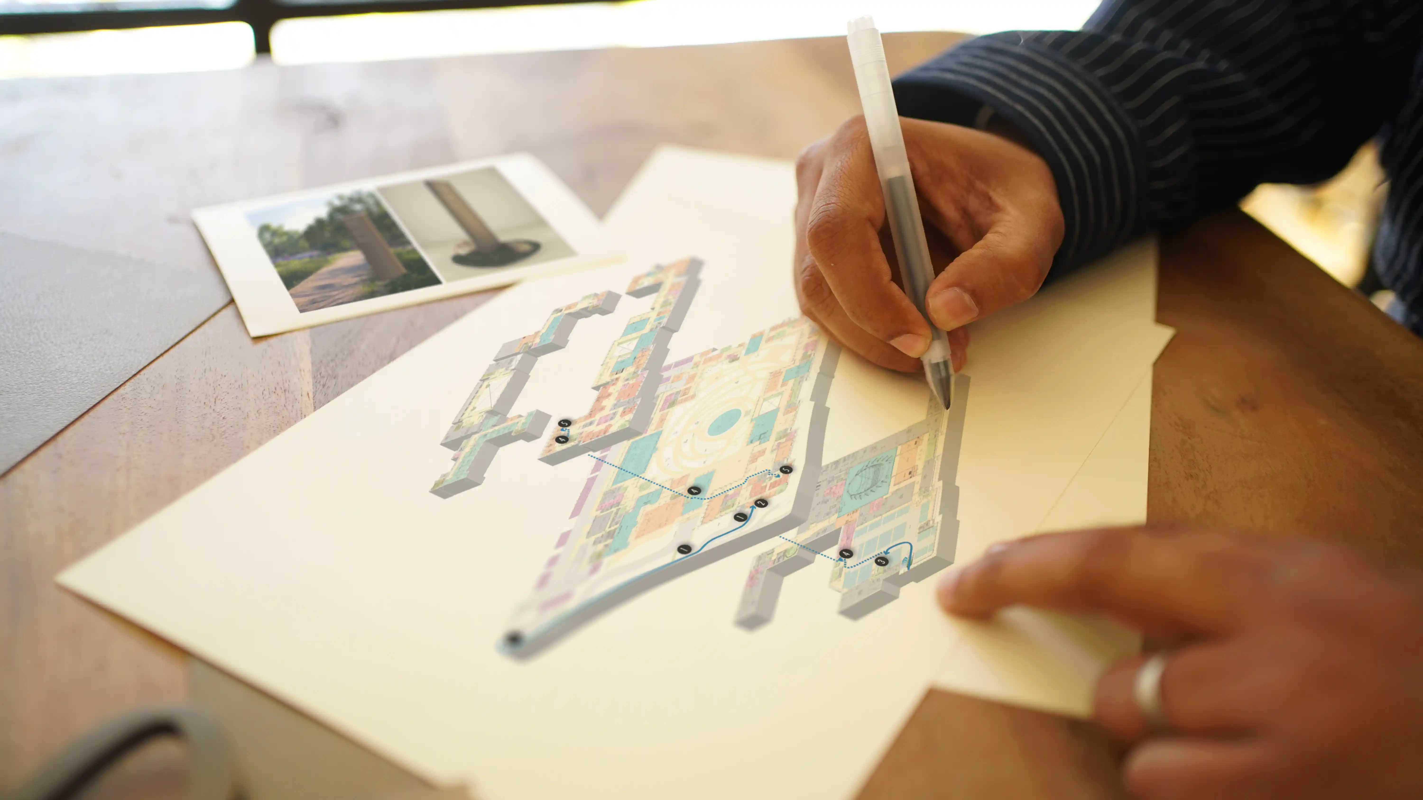
Represent the network as connected spaces and links, with attributes such as level change, access condition, operating hours and available confirmation. Give route segments stable references so an observation on site can be traced back to a drawing and a proposed intervention.
Do not select study journeys only because they are frequent. Include routes where a navigation error has a significant consequence, as well as low-volume access needs that would disappear in an aggregate movement count.
Review sightlines from the position of the moving person
A floor plan allows the reviewer to see the whole building. A visitor sees a changing portion of it from a particular height, direction and location.
Examine approaches to entrances, intersections, lifts and destination thresholds. Record what becomes visible, when it becomes visible and what competes for attention. Review standing and seated viewpoints where relevant. Add likely obstructions such as queues, furniture, planting, security equipment and temporary displays.
Visibility diagrams or isovist studies, which map the space visible from a point, can help compare options. They should support an explicit question. A large visible area does not necessarily reveal the required destination, and an unobstructed view does not prove that a user will recognise its meaning.
Link each finding to its consequence. If the lift is concealed until after the visitor has chosen the stair, identify the earlier choice and the options for changing visibility, route emphasis or information. The analysis should locate the decision the team can improve.

Analyse horizontal and vertical circulation together
Changes of level can interrupt a person's understanding of the route. A lift may discharge into a space whose layout differs from the floor below. The destination may occupy an adjacent wing that is only reachable through a particular core.
Hölscher and colleagues studied wayfinding in one complex multilevel building with 12 participants, comparing familiar and unfamiliar users. They found differences in navigation strategies and identified the arrangement of stairs among the building's difficulties. The study supports examining vertical relationships explicitly; its small, building-specific sample does not justify a universal preferred route for every environment.
Map which cores serve which floors and destinations. Check the information available before a person enters the core and when they leave it. Trace the step-free network separately where needed, then reconnect it to the shared destination logic. Avoid treating a lift as a simple icon that automatically resolves the journey.
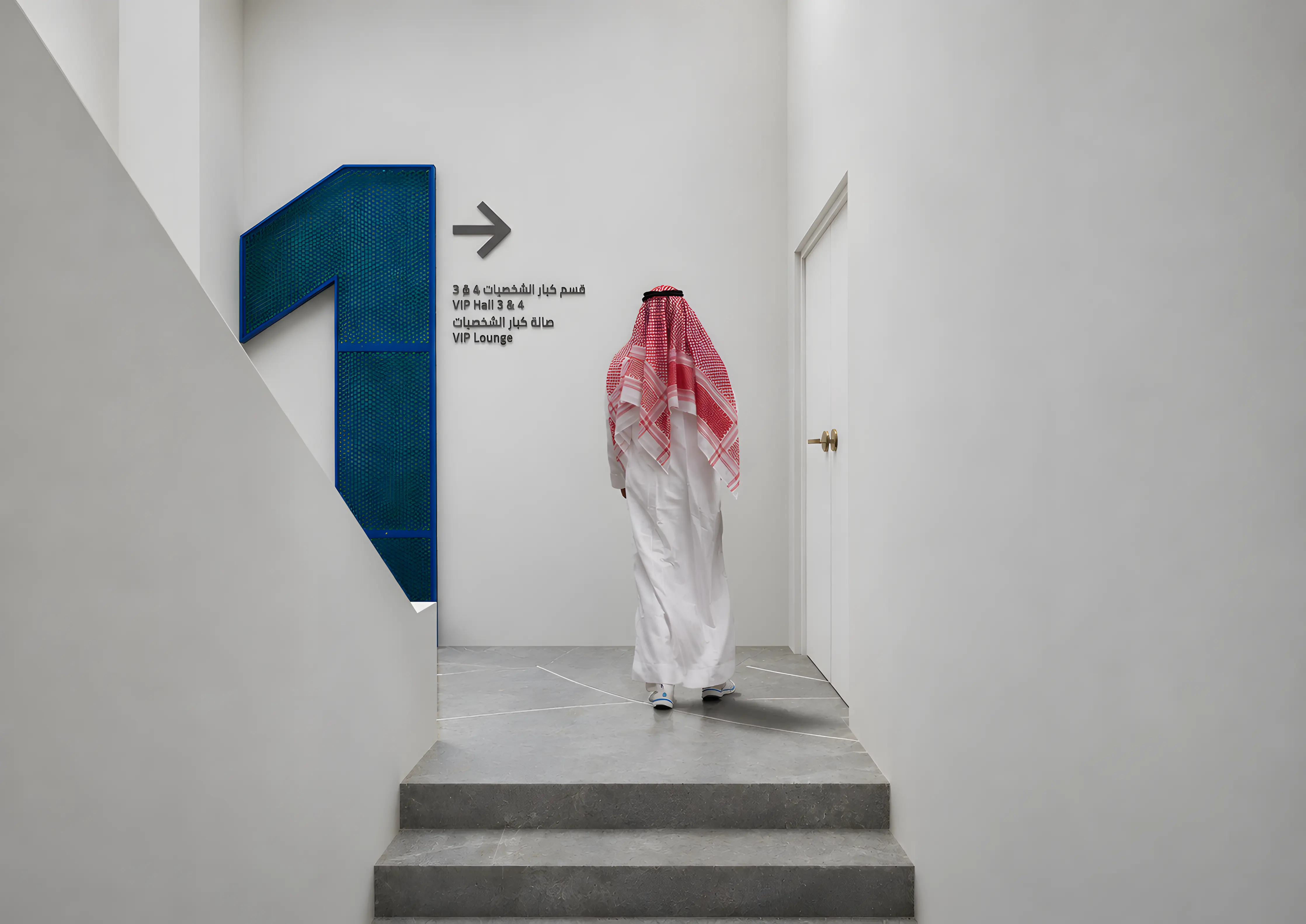
Compare intended routes with desire lines and observed movement
In an occupied environment, observe how people actually move. Record repeated paths, pauses, reversals, missed entrances and requests for help. Ask operators where questions accumulate and compare their account with direct observation.
A desire line is the route people appear to want or repeatedly choose. It is evidence to investigate, not an instruction to formalise every shortcut. A path may be attractive because it is visible, because another route is poorly explained or because it bypasses a delay. It may also conflict with security, conservation or safety constraints.
Sample more than one operating condition. An entrance that works during a quiet morning may behave differently during an event or shift change. Describe the observation period and its limits. A short visit cannot establish annual demand or typical peak performance.
For an unbuilt project, label predicted paths as hypotheses. Test them through journey walkthroughs, representative prototypes or modelling, then check the assumptions again when the environment becomes available.
Separate route comprehension from circulation capacity
A crowd gathering at an intersection may be waiting for a service, reading information or blocking the onward route while deciding what to do. The visible congestion does not establish the cause.
Record activity, duration and relationship to nearby functions. Check whether the area has become an informal orientation point because visitors lack confirmation earlier. Moving a directory might address that condition. It will not solve an undersized queuing area or insufficient service capacity.
Where crowd capacity, evacuation or traffic performance requires specialist assessment, coordinate with the responsible engineers and safety team. A wayfinding review can identify interfaces and behavioural questions; it does not replace their calculations or approvals. Any simulation should state its demand assumptions and calibration limits rather than present a precise-looking animation as proof.
Issue findings that can change the design
Useful deliverables connect evidence with an owner and a decision. For a substantial study, the agreed package should normally include:
- A user and journey schedule identifying priority tasks, operating conditions and access constraints.
- Annotated circulation maps showing route hierarchy, origins, destinations, vertical connections and exceptions.
- A visibility and orientation review locating concealed transitions and competing cues.
- An issue register linking each finding to evidence, user consequence, recommended action and responsible discipline.
- An options comparison and a validation plan for the changes selected by the client.
Prioritise findings according to consequence and the remaining opportunity to change them. A route relationship that affects an entire wing needs a different response from a missing confirmation message at one doorway. Identify unresolved assumptions and dependencies so they are not mistaken for approved conditions.
Decision-point analysis then examines individual choices in greater detail, including what a person needs to know before, at and after a turn. Spatial and circulation analysis owns the wider network and its relationships. A project may require both, with the connection between them made explicit.
Use the analysis at the next decision gate
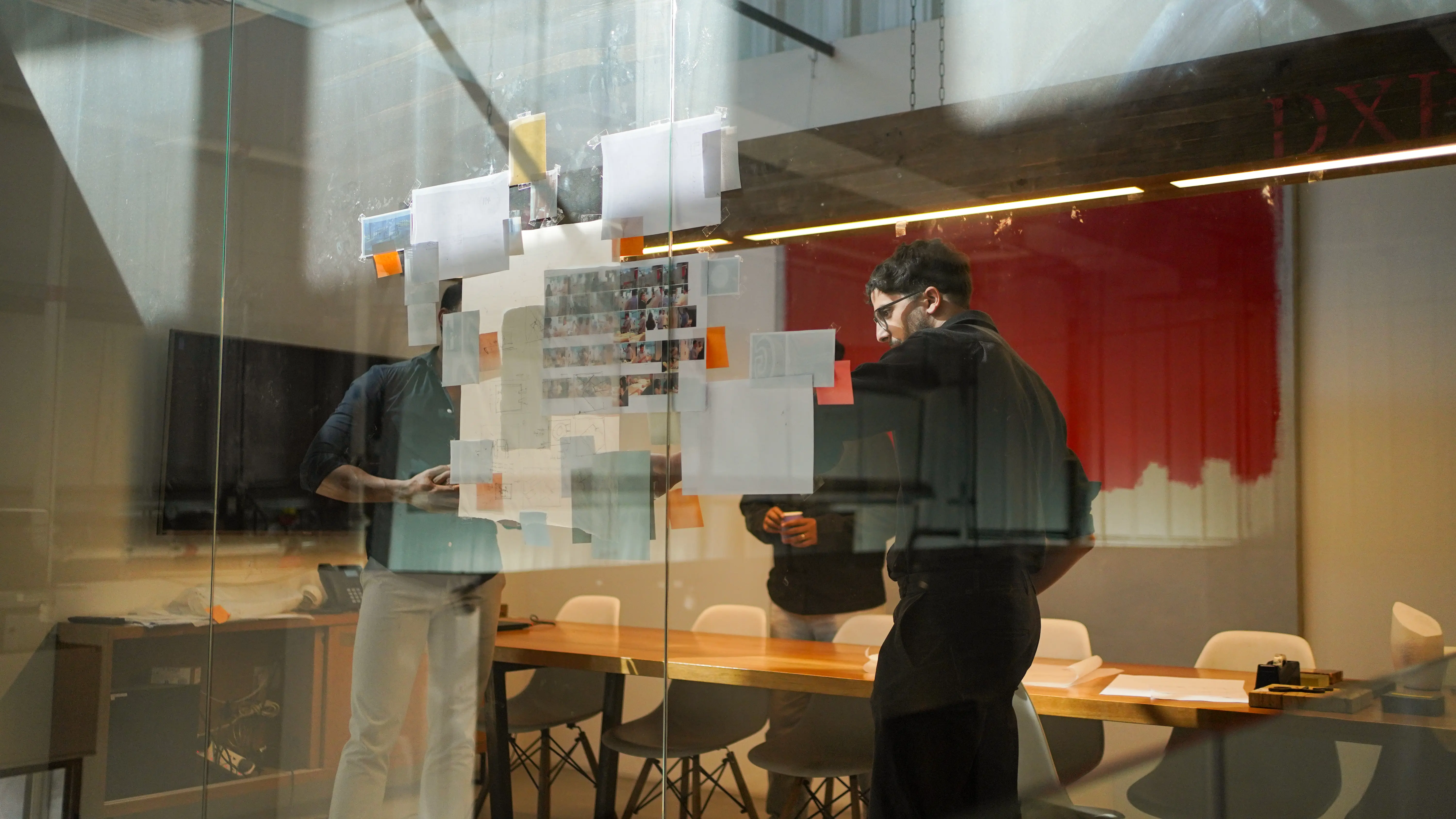
During early design, bring the findings into architecture, landscape, access and operational reviews before the relevant relationships become fixed. Agree which options will be developed and what evidence is needed to close each issue.
After occupation, use a baseline and repeat comparable tasks following the intervention. Record route completion, wrong turns, hesitation and support requests under stated conditions. Account for other changes, such as a relocated service desk, before attributing an improvement to navigation alone.
The final report should let the client answer a direct question: what will change because this analysis was commissioned? Clear ownership, drawing references and a practical verification method turn a spatial study into an instrument for project decisions.